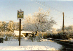
 |
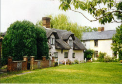 |
 |
 |
Castle Camps is situated 15
miles S.E. of Cambridge, and borders on to Suffolk and Essex. It is one of the highest
villages in the county, being 415 feet above sea level and on the watershed between the Cam
and Colne valleys.
It is shewn as part of the Chilford Hundred on a map dated 1845. Until the 14th century, it
was known as Great Camps, the name of "Camps" probably deriving from the early English
encampments or fields formed in clearings made in the great forests which still covered the
area in 1086.
In the Middle Ages, a group of cottages stood N.W. of the Castle, one or two surviving to
1618, and earth works still mark the site.
The villagers of Castle Camps suffered badly at the time of the Black Death and the
survivors fled to Camps Green, which was not so badly affected. In time, Camps Green
became
The population of Castle Camps was 713 in 1901 and 442 in 1971.
Situated within the present Parish boundaries is a Triangulation Pillar, marking the highest
point in Cambridgeshire - 415' above sea level.
Before the Norman conquest, the Manor belonged to a King's Thegn named Ulwin, one of the
larger landowners in the county. When William the Conqueror confiscated the lands of the
English in 1068, the whole of Ulwin's land was given to Aubrey De Vere, First Earl of
Oxford, and it remained in the family until 1584.
It was then sold to Sir Thomas Skynner, a wealthy merchant and son of the Lord Mayor of
London. Later it passed to Thomas Sutton, who endowed it to Charterhouse, who in 1919 sold
all the Estate except Castle Farm and Manor.
Park Street is mentioned in 1450.
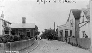
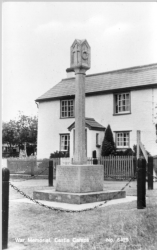
This List was last updated on 17th November 2000.
The number of
people who've looked at this page so far is: